Mapping stories
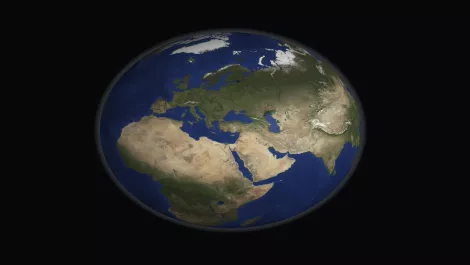
Soar launches its 'super-map', poised to rival Google Earth by offering near real-time global imagery from satellites, drones, and aerial cameras.
The UK is spearheading global standards for high-definition mapping crucial for the safe deployment of self-driving vehicles, aiming for wide-scale use by 2030.
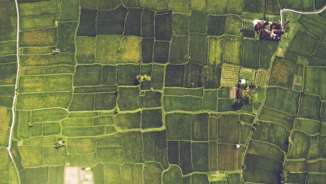
DJI Terra allows drone pilots to quickly generate 2D maps and 3D model reconstructions, plus analyse data and generate insights with analysis tools.
Microsoft is launching a new Azure service that aims to meet the geospatial needs enterprise customers that use location data.
The data can be used by forestry companies to help plan their logging operations and horticulture companies for sustainable land management.
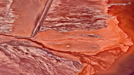
Sky-high revelation: Nearmap unveils breathtaking aerial views of Australia ahead of their 10th anniversary celebrations.
New Zealand-based app ThunderMaps enables users to crowdsource hazard locations and receive real-time warnings.